
The Problem
How Wilmington got this way
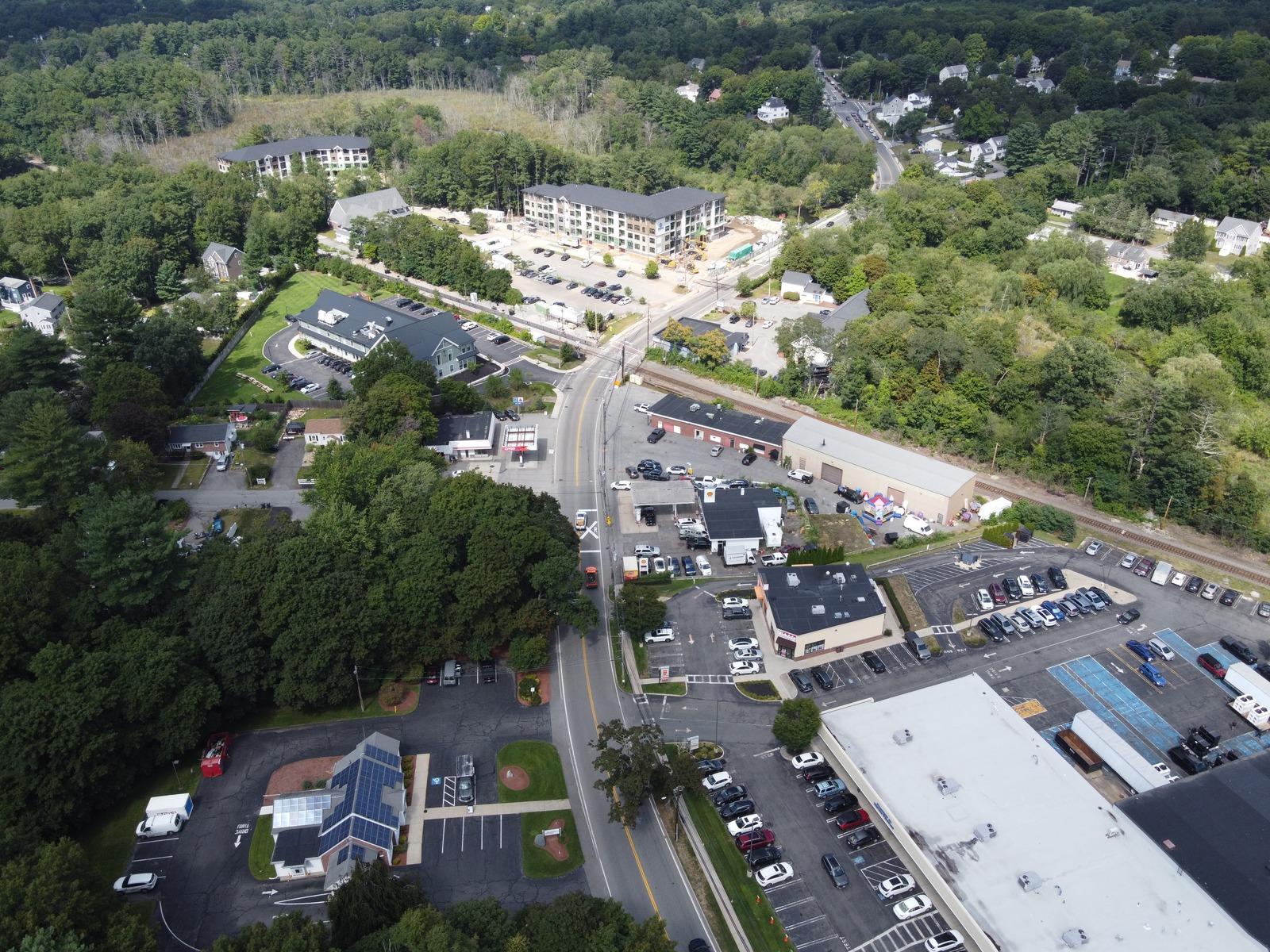
Wilmington isn't a town with roads running through it. It's a set of state highways with a town built around them. Routes 38, 62, and 129 were built to move regional traffic through what is otherwise a residential suburb. That's why walking here looks the way it does.
Nobody designed it badly. Nobody designed it at all.
- State routes
- 3
- Highway in town
- 13.2mi
- Paths proposed
- 5.4mi
Miles measured along Routes 38, 62, and 129 inside the town line (OpenStreetMap). Shared stretches counted once.
Sidewalks
A network that isn't a network
Wilmington has sidewalks. What it doesn't have is continuity. A sidewalk that ends at a property line is not infrastructure, it's a fragment.
The problem isn't quantity, it's connection.
Wilmington's Hubs
Close on the map. Far on foot.
Hub 1 of 7
North Wilmington
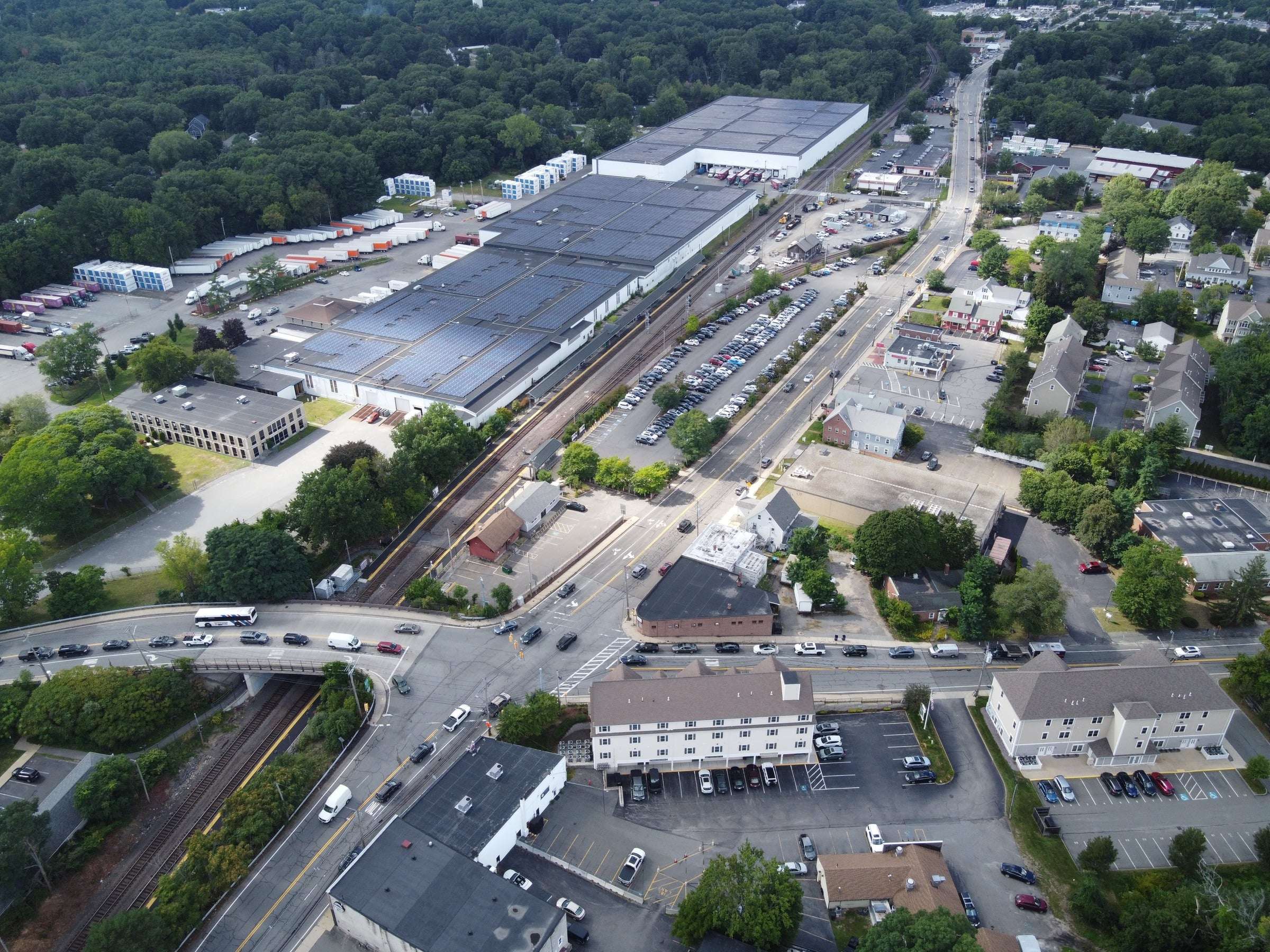
1A commuter rail stop with a cluster of everyday errands around it on Middlesex Ave.
What's here
- North Wilmington train stop
- Elia's grocery store
- RMV office
- Planet Fitness
- Cafes and gas stations
- Whitefield ball field
Numbers show which proposed paths reach each hub. Red outlines traced from the original Google Earth hubs map.
The Opportunity
You don't have to walk along a highway to get across town. Between Wilmington's hubs there are woods, brooks, parks, and back lots. Most of that space already exists. What's missing is a path through it.
- Woods
- Brooks
- Parks
- Back lots
A walking path doesn't need a road, it needs a route.
Go to the Paths!