

About
A little about me.
I'm Vinny, a senior at Wilmington High School who wants to be an urban planner. I started the Walk Wilmington Project because getting around this town on foot shouldn't mean walking along busy roads.
These paths only happen if people in town want them.
See how you can help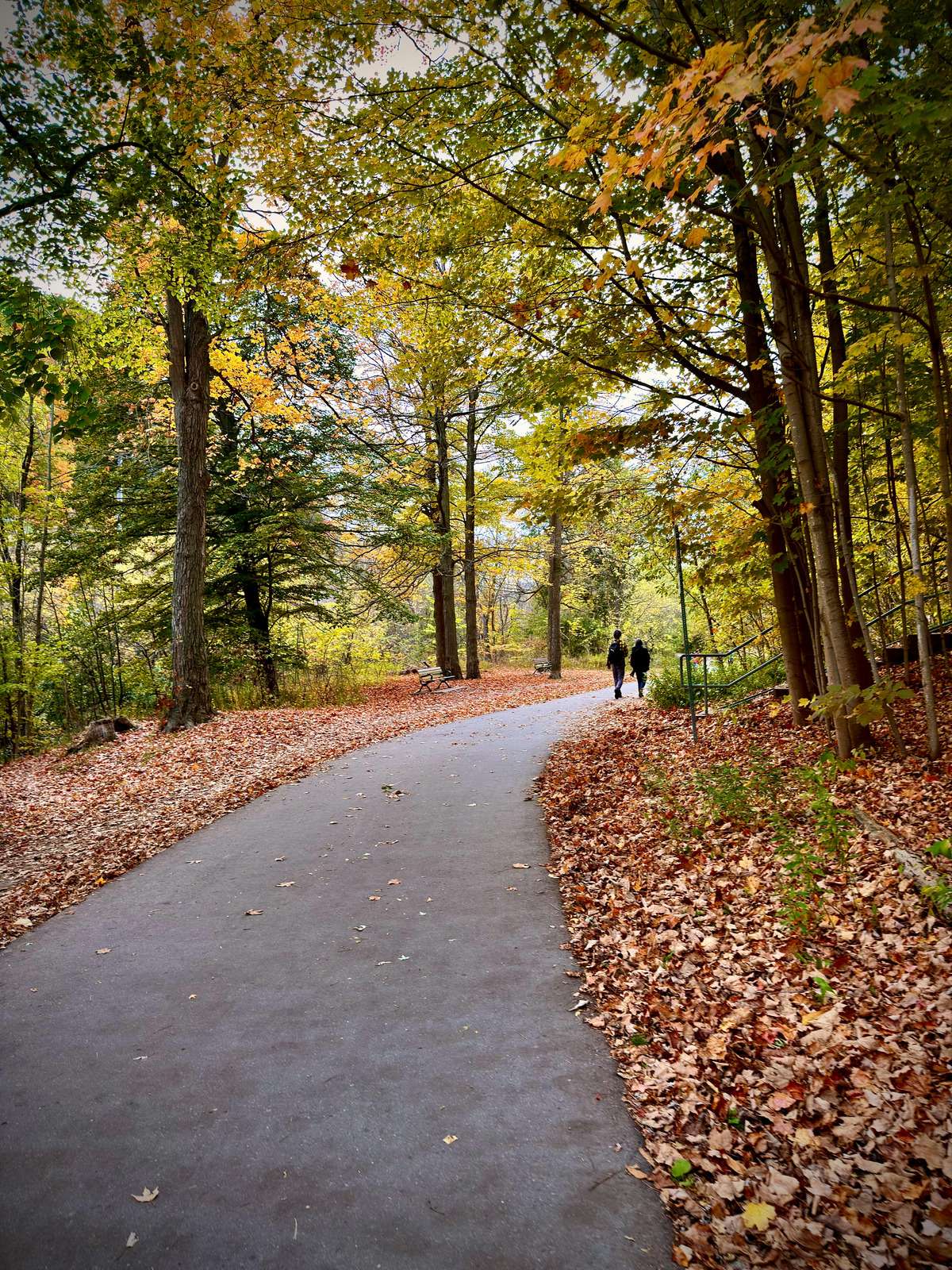
Let's make beautiful walking trails like this a reality!
Get Involved
Three ways you can help!
- 01
Tell me where you already walk.
Shortcuts, worn dirt trails, places you wish you could cut through. Local knowledge makes the map better.
- 02
Share the project.
Send it to a neighbor, a teacher, or anyone who's ever tried to walk anywhere in town and found it inconvenient.
- 03
Talk to the town.
If a path matters to you, tell the Planning Department or the Conservation Commission.
What's Next
Where things stand.
The project keeps moving. Check back to see what's new.
Done
Found the hubs and drew five paths
Mapped Wilmington's busiest areas, then drew and measured five paths between them in Google Earth.
Done
First Walk Wilmington website
Put the idea online for the first time, built in Canva.
Now· November 2026
A new walkwilmington.com
Interactive maps, real elevation data, and Plan Your Walk, so anyone can see what the paths would change.
Next
Hear where people already walk
Collect shortcuts, worn trails, and wish-I-could-walk-here spots from neighbors to make the map better.
Next
Share the plan with the town
Bring the paths to the Planning Department and the Conservation Commission.
Later
Keep improving the paths
Adjust the routes based on what neighbors and the town say.
Contact
Let's build a walkable future for Wilmington, together!
By sending a message, you agree to the Terms of Use. See the Privacy Policy for what happens to your message.
Is this an official town plan?
No. Walk Wilmington is a student project, not a plan from the Town of Wilmington, and no town board has approved it. The goal is to start a conversation and show what's possible, then share it with the Planning Department and the Conservation Commission.
Who would build these paths?
That would be up to the town. Projects like this usually start with town departments and boards deciding it's worth studying, then a design by engineers, with chances for residents to weigh in along the way.
Who would pay for it?
Usually a mix of town money and state or federal grants. The nearby Tri-Community Greenway, for example, was a $5 million state project paid for with federal and state money. Massachusetts also has grant programs for trails (like MassTrails), and unpaved paths generally cost much less to build than paved ones.
Who owns the land?
It depends on the path. Some of the land is parks or conservation land, and some is private, like the back lots behind businesses. Before anything could be built, the town would need to confirm who owns each stretch, and private owners would have to agree.
What about wetlands?
A few paths pass brooks and wet ground. Any work near wetlands has to be reviewed by the Conservation Commission, and wet stretches can use a raised boardwalk, like the one the North Wilmington Path may need near Lubbers Brook.
Why not just add more sidewalks?
Sidewalks help, and Wilmington has gaps worth filling. But a sidewalk along Route 38 or Route 62 is still a walk next to fast traffic. The paths use the land between the hubs instead, so the walk is calmer and often shorter. Try a trip on Plan Your Walk to see the difference.
Can I walk the paths now?
Not yet. They're proposals, and many cross private land, so please don't go looking for them on the ground. The best way to help them exist is on this page: tell me where you walk, share the project, and talk to the town.