
The Walk Wilmington Project
Let's walk, Wilmington
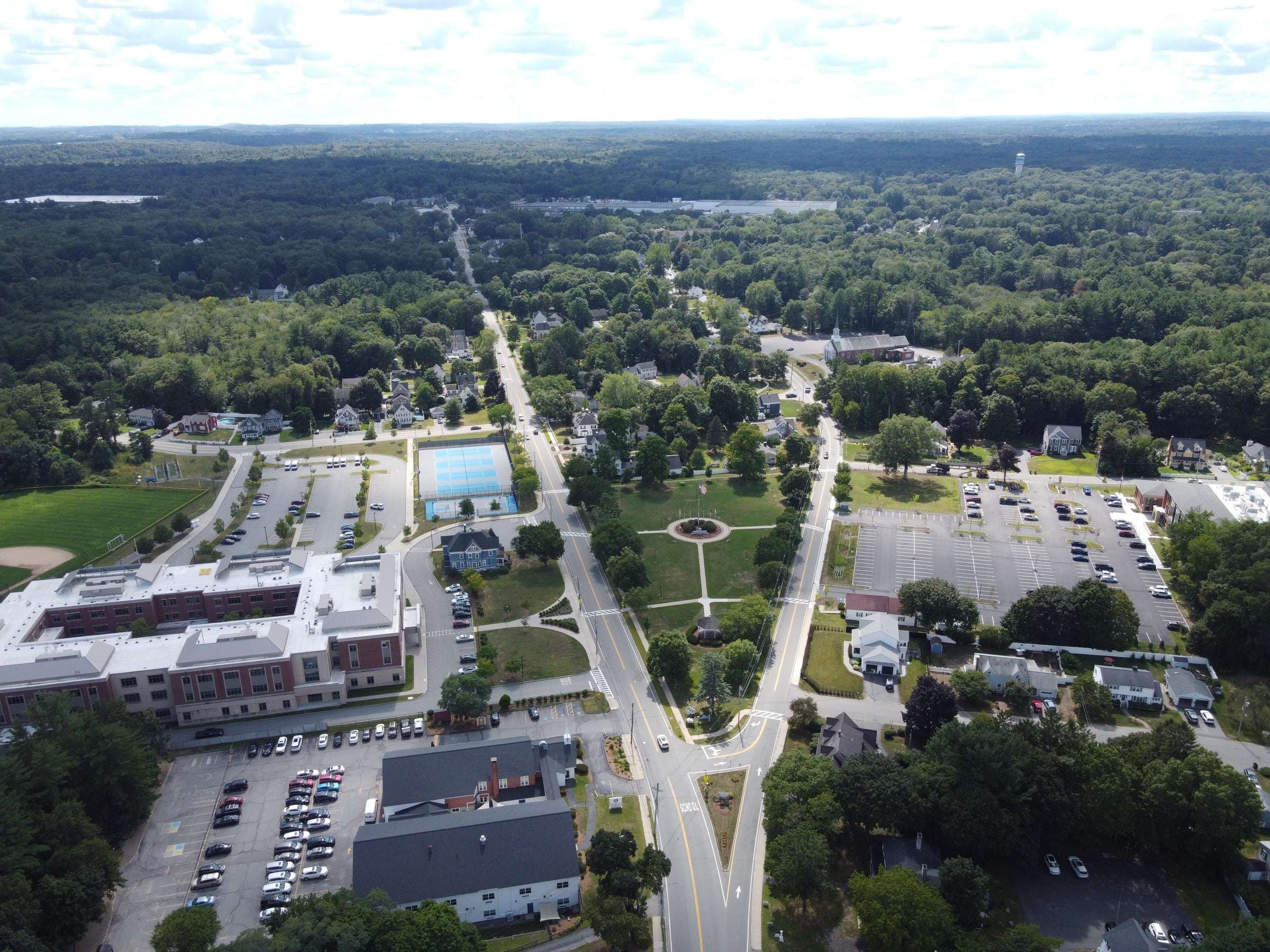
Wilmington, MA wasn't built for walking. Here's how it could be.
A Quick Overview
Five paths. One question: what if you could cross town without walking along a major roadway?
- 01
Step 1 of 4
Idea
Each route started with Wilmington's busiest areas, or "hubs," and the easiest way to walk between them.
- 02
Step 2 of 4
Mapped
Each path drawn and measured in Google Earth: length, walk time, and elevation.
- 03
Step 3 of 4
Proposed
Five walking paths, paved or dirt, using the woods, brooks, and parks that already sit between Wilmington's hubs.
- 04
Step 4 of 4
Brought to Wilmington!
Neighboring towns already walk on paths like these. Wilmington could be next.
Trail passes
Five paths. 5.4 miles. One connected town.
Each path uses land that's already there: woods, brook edges, parks, and back lots.
0
paths
0.0
miles
Wilmington
connected
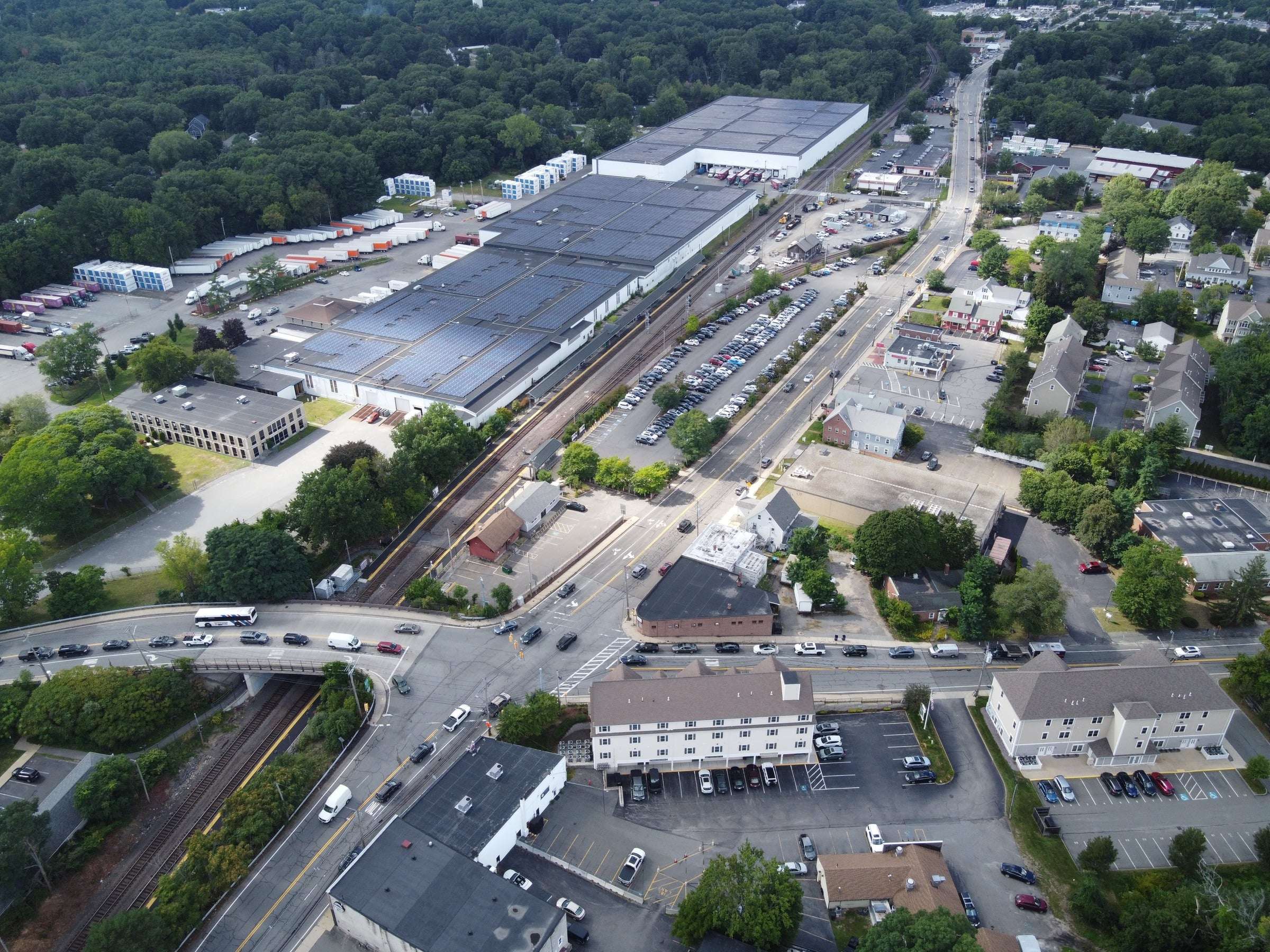
Wilmington's hubs are already close together. The paths between them just don't exist yet. It's time to Walk, Wilmington!
Next: The Problem